Drone Roof Inspection in Pompano Beach, FL
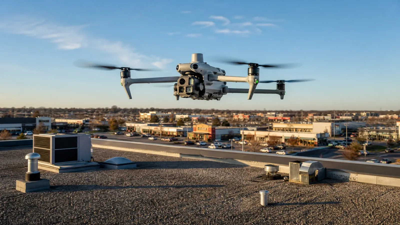
Big flat roofs in Pompano Beach are among the hardest to walk. Acres of low-slope membrane, ponded areas that make footing risky, fragile skylights, steep edges and rooftop equipment crowded into corners all make a hands-on walk slower and riskier than it should be. A drone changes that. It flies the whole roof in a fraction of the time, captures every square foot in sharp detail, and gives you a record you can compare from year to year.
We use drone imaging for large or hard-to-access commercial roofs, and we pair it with hands-on checks wherever the images say something needs a closer look. The result is a fuller picture of the roof with fewer hours of risk for anyone.
Big Roofs, Few Safe Paths: where a drone beats a ladder
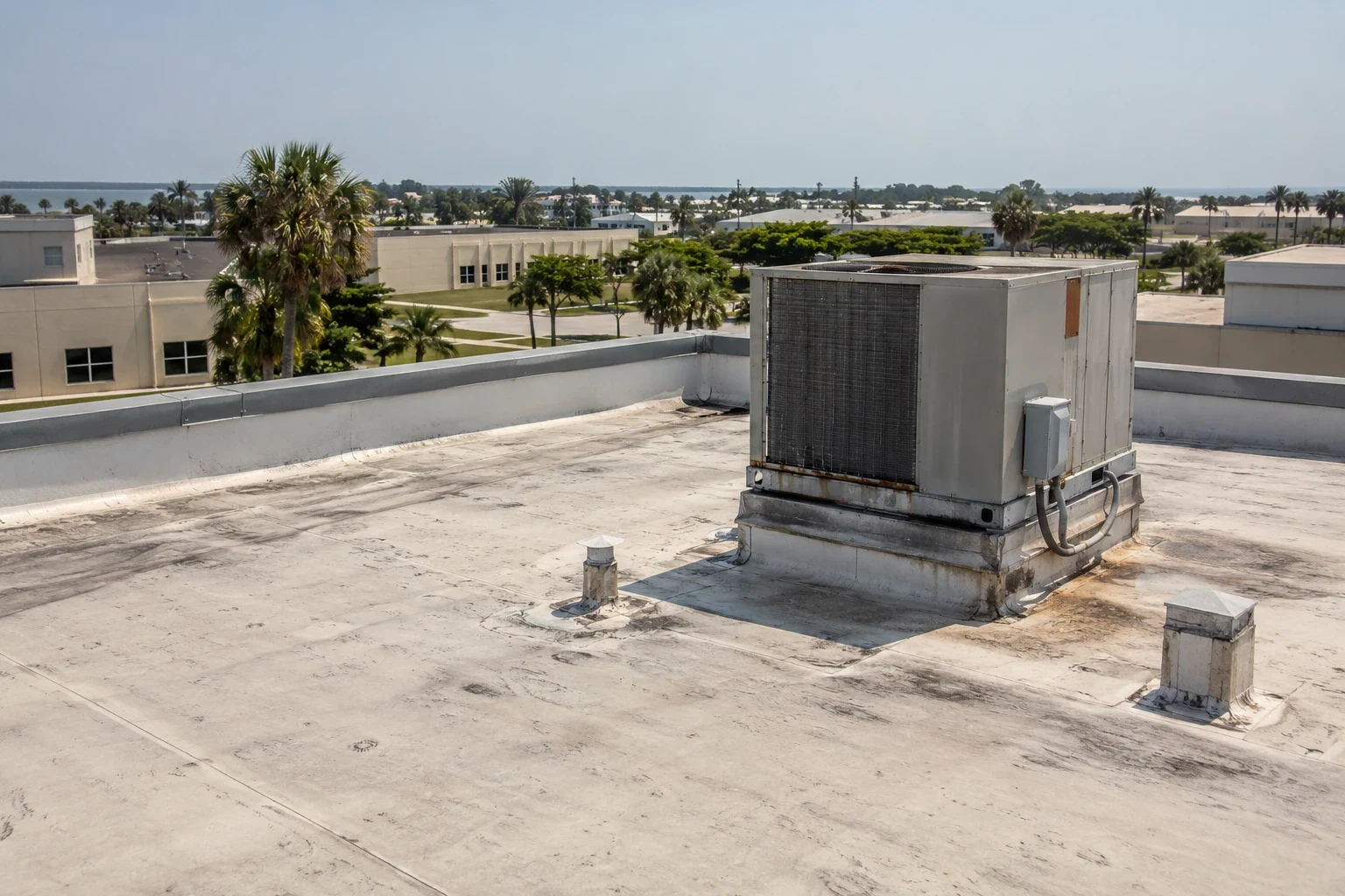
Industrial, warehouse and distribution buildings account for more than 28 million square feet in Pompano Beach, one of Broward County's largest such submarkets. Gateway Lakes Industrial Park has about 2.2 million square feet of buildings, Powerline Industrial Park about 3.1 million and Atlantic Business Center about 1.2 million. At this scale, a drone can help plan an efficient inspection route before a technician walks the roof.
A drone survey is also useful where access is awkward: roofs with limited ladders or hatches, fragile surfaces, or sections that are wet and slick after a storm. It keeps people off questionable surfaces and gets answers for a warehouse roof in far less time than a crew needs on foot.
A drone image is a useful map, but it cannot confirm whether a seam is bonded or an insulation layer is wet. We use aerial images to locate ponding, debris, displaced metal and crowded equipment, then pair them with close inspection wherever the condition needs touch or probing. The flight plan keeps the camera focused on roof surfaces and visible building details, while the report marks which observations are visual only. That distinction prevents a clear photograph from being treated as proof of a sound membrane.
What the Drone Captures: photos, maps and thermal views
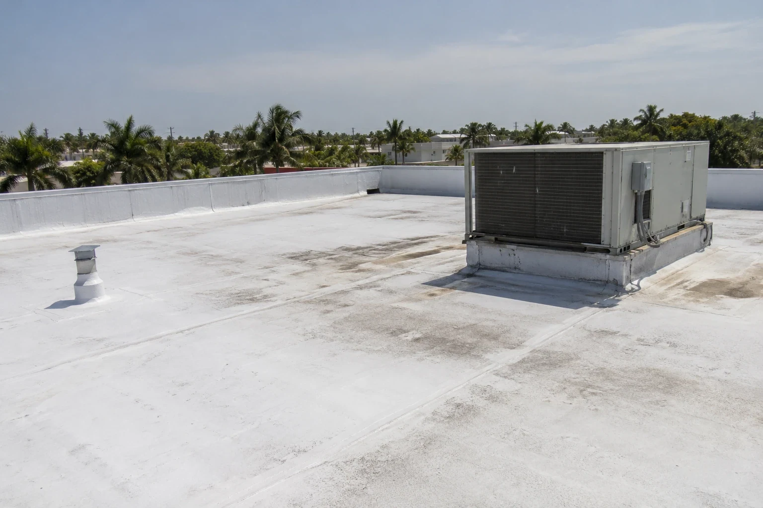
A survey flight follows a planned grid so images overlap and cover the roof evenly. The result is a set of high-resolution photographs that show seams, flashing, patches, ponding stains, debris, blistering, cracked sealant and damaged edge metal. Close-up passes pick up detail on drains, curbs, penetrations and rooftop equipment. Stitched together, the images can form a single map of the roof you can zoom into from your desk.
When the situation calls for it, a thermal camera adds a second layer by showing temperature differences across the surface. That can point to areas that deserve a closer look for trapped moisture. Thermal imagery from the air is a screening tool, though. It tells us where to look, and a proper infrared and core-cut moisture survey confirms what is actually wet.
Flight Planning: weather, airspace and building operations
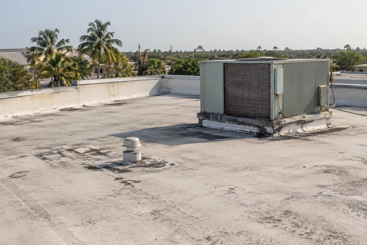
Flying a roof in South Florida means working around the weather. Mornings tend to be calmer and clearer, before storms build in the afternoon, and wind has to stay within safe limits for steady images. We reschedule rather than fly in poor conditions, since blurred or incomplete images are of no use to you.
Airspace matters too. The Pompano Beach Air Park is a city-owned airport with three runways and more than 200 based aircraft. Any aerial inspection plan near active aviation operations has to account for airspace and site access before launch. Every flight follows federal drone rules, and we confirm what is required before we launch. We also coordinate with your property manager so tenants know a drone will be overhead and your site staff know where we are working.
Occupied buildings add their own wrinkles. A cold storage tenant may care about rooftop condenser units, a distribution center may run trucks around the clock, and a retail center may have customers in the lot below. We plan takeoff and landing spots, keep the drone away from people and vehicles, and agree on a time that suits the property.
From Images to Findings: how the report comes together
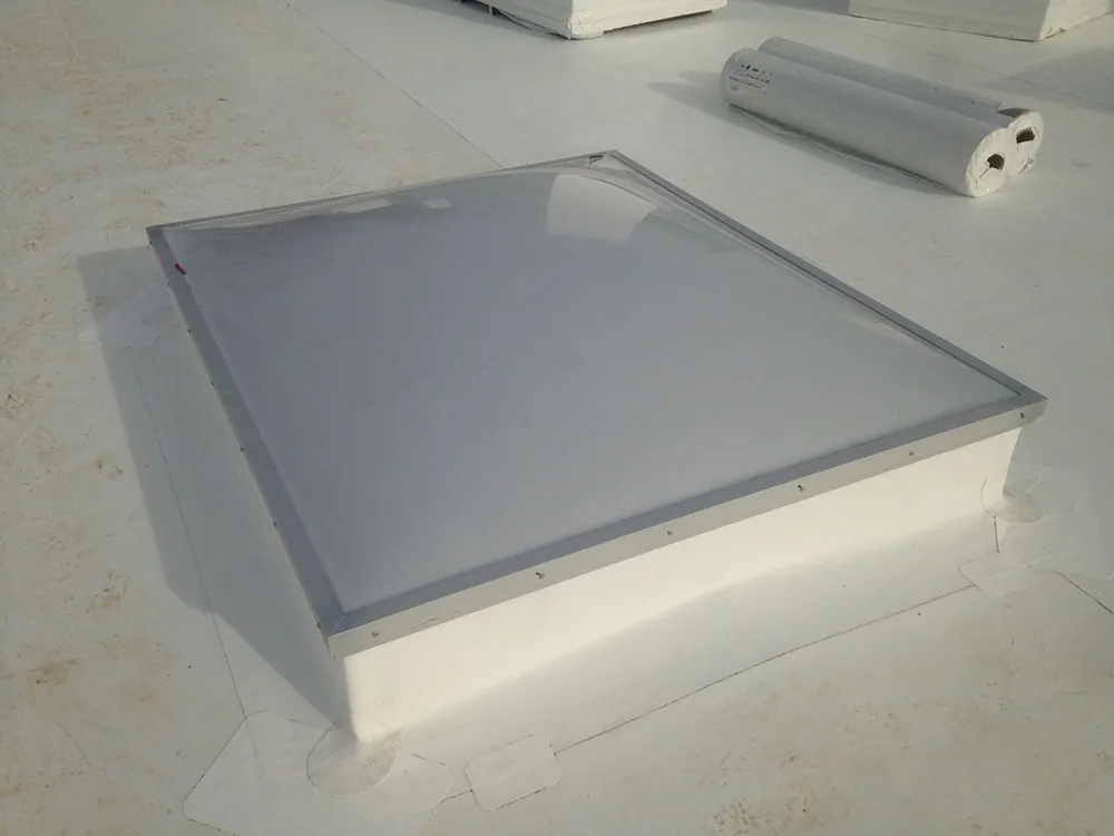
Images are only useful when someone reads them closely. We go through the full set, mark each defect on a roof plan, and add short notes explaining what it is and why it matters. Ponding patterns, drainage problems, failed flashings, open seams and damaged equipment supports are tagged so you can see them in context. The photos go into a written report with recommendations in priority order.
For owners with several buildings, repeating the same flight each year builds a visual history of each roof. Changes show up fast, and the data supports multi-site roof programs where budgets and repairs have to be planned across a whole portfolio.
Where a Drone Is Not Enough
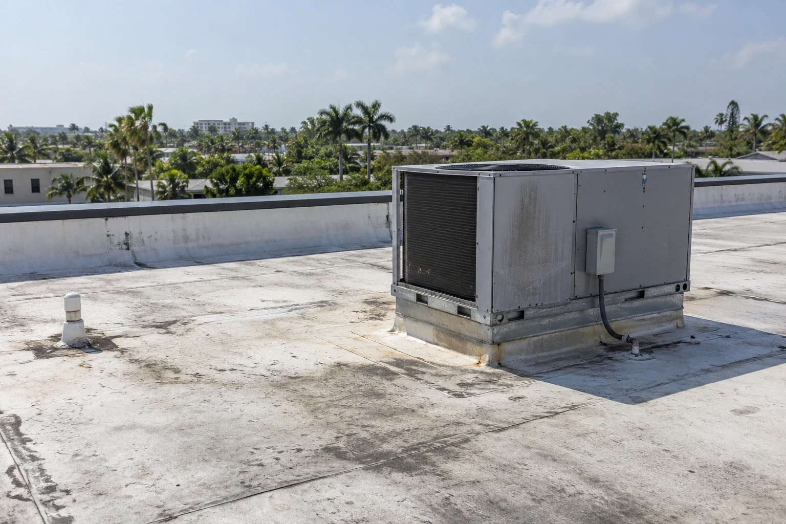
A drone sees the surface. It cannot probe a seam with a tool, cut a core to check insulation, feel a soft spot underfoot or look under a flashing. That is why we treat drone imaging as one input rather than the whole answer. When the images show something suspicious, we send someone up for a hands-on follow-up, the same approach we use in a full commercial roof inspection.
If the question is moisture inside the roof system, the answer comes from infrared and core samples. If the question is whether a seam is truly open or just dirty, the answer comes from hands and tools. Knowing which tool fits which question keeps surveys honest and keeps cost in line.
After the Storm: quick surveys when roofs are at risk
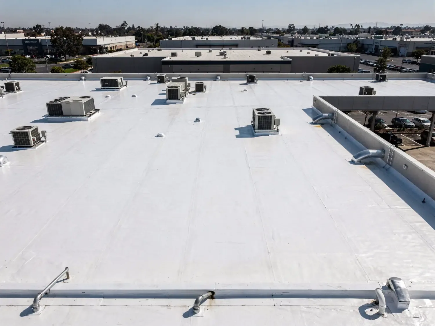
After a major storm, time matters. After Hurricane Irma in 2017, when gusts ran from 80 to 100 mph over most of the county, an owner with several large roofs needed to know fast which ones had lost membrane or edge metal. A drone can sweep a roof quickly, find obvious damage and help sort what is urgent from what can wait, before anyone puts a ladder against a wet building.
The images double as documentation for a carrier. If the storm caused damage, our storm damage roof repair team can use the same flight to scope the work, and the photos support your claim. Records taken soon after the event are easier to defend than memories of what the roof looked like.
Questions We Hear Often
Can a drone find a leak?
Not by itself. It shows surface conditions and thermal patterns that point to likely problem areas. Finding the actual entry point takes a hands-on follow-up.
Is a drone inspection safe for my building and tenants?
Yes. The drone flies above the roof and never touches it. We tell your site contact when flights happen, and we avoid flying over people or in poor weather.
How long does a drone survey take?
The flight on a typical large roof is short, usually well under a day. Processing and the written report take additional time, and we give you a window when we book.
Do you still send someone onto the roof?
Often, yes. Wherever the images raise a question, we follow up on foot to probe, test or core. The drone shortens the walk. It does not replace it.
What do you need from me before a flight?
Permission to fly the property, a site contact, and the roof address with any access limits. If you have past roof reports or plans, send them along so we can compare.
Can I use the images for insurance?
Yes. Dated, high-resolution images of roof conditions help support a claim, along with our written findings.